WHAT IS REMOTE SENSING TECHNOLOGY?
Remote sensing is the collection of information of an object from a distance, usually through aircrafts or satellites. Many forms of data can be obtained from remote sensing, including aerial imagery and LiDAR. Light detecting and ranging (LiDAR) uses lasers to determine the three-dimensional structure of an object.
© NASA / Dembinsky Photo Associates / Alamy
WHY REMOTE SENSING FOR CONSERVATION?
Satellite imagery and LiDAR are used in conjunction with each other and alongside other remote sensing data to produce new insights not visible with just one dataset. They allow us to monitor and understand large areas easily and quickly and helps us observe even the untouched regions of the world. It is opening up new avenues to study conservation at large spatial scales.
WHERE IS WWF USING REMOTE SENSING?
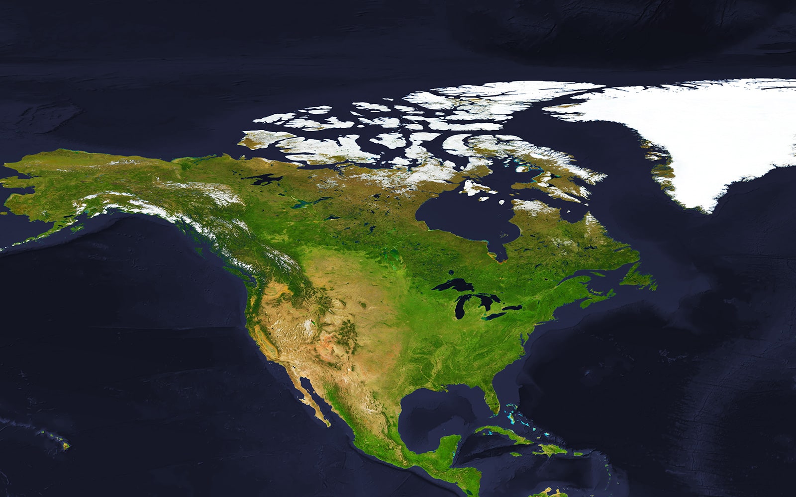

CENTRAL
CANADA
Carbon storage mapping for Canada.
CENTRAL
CANADA
Land use and climate change mapping.
SOUTHERN
SASKATCHEWAN
Climate mediated range shifts and projected habitat availability of grassland birds in Canada.
REMOTE SENSING IN ACTION
Explore how WWF-Canada is using Remote Sensing Technology for conservation.
Satellites take conservation to new heights
© WWF-Canada
REMOTE SENSING IN ACTION
Satellites take conservation to new heights
Thousands of satellites are circling the planet, enabling everything from TV broadcasts to the GPS app on our smartphones. These satellites are also driving crucial conservation work.
WWF-Canada’s GIS and Spatial Analysis specialist, and her team, have been using 24 years of satellite imagery from the European Space Agency to map how grasslands in Alberta, Saskatchewan and Manitoba have changed in recent decades. Next, they’ll use machine learning — a specific type of artificial intelligence — to forecast how these habitats are likely to change in the next 30 years based on trends in agriculture, urban growth and climate change.
The projections will include changes in precipitation levels, temperature, number of frost-free days and other variables. Those shifts will have huge implications for local species at risk, such as the burrowing owl, Sprague’s pipit, Baird’s sparrow and McCown’s longspur.
© Wilf Schurig/ WWF-Canada
Protecting Canada’s landscapes
WWF-Canada and researchers at McMaster University are also leveraging remote sensing technology to understand carbon storage in Canada. Not only does LiDAR map out forest cover, it can also provide enough detail to estimate how much carbon those forests contain based on the height and density of trees.
The project will produce Canada’s first comprehensive map of carbon storage and distribution by 2020. This kind of carbon mapping will be a crucial component for decision makers in determining areas for protection and restoration for mitigating climate change.
Whether it’s mapping carbon storage or sensitive habitats, satellites are increasingly becoming an invaluable part of conservation. The dual crisis of climate change and biodiversity loss is one that must be addressed quickly. This data is key in determining the best to protect Canadian landscapes in the coming years.
IMPACT
24
Using 24 years of land cover data from the European Space Agency, we have begun to understand human and climate change impacts on the Canadian landscape.
OUR PARTNERS IN REMOTE SENSING

OUR PARTNERS IN REMOTE SENSING
Want to partner with us?
TAKE THE NEXT STEP
Support the future of environmental conservation
